You are here
Polish archaeological team explores Paleolithic artifacts in southern Jordan
By Saeb Rawashdeh - Dec 23,2024 - Last updated at Dec 23,2024

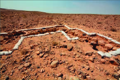
Partly excavated stone structure in trench W at Faysaliyya (Photo courtesy of Jagiellonian University)
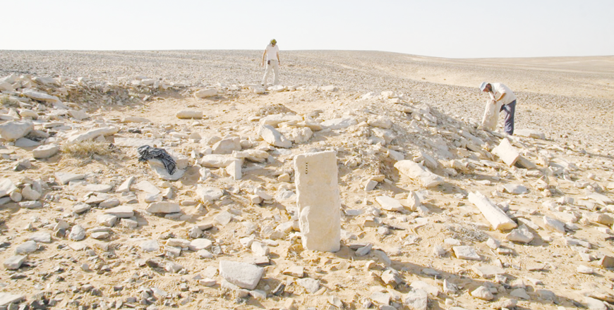
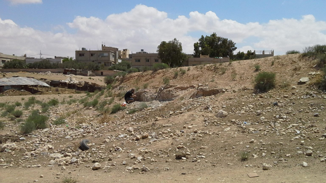
AMMAN — A Polish archaeological team from the Jagiellonian University of Krakow studied sites in southern Jordan, one of them is Faysaliyya located in an area of low, rolling hills, which are a dominant element in the landscape.
The area under investigation is located in the upper and middle parts of these valleys. River channels are 5–10 metres wide and 1–5 metres deep, said Piotr Kołodziejczyk, director of the project.
"The youngest, Holocene banks are built of gravel–sand–silt material. The gravel has up to 1 metre in diameter, with an average of 0.50–0.60 metre. The modern river dynamics have caused intensive downward erosion with very intensive cutting," Kołodziejczyk said.
The project director added that the archaeological site lies on Quaternary sediments of Pleistocene-Holocene date, covering Tertiary- and Cretaceous age rocks, which were observed in several locations, small outcrops in the form of rock walls [up to 20 m] and valley steps.
This is the upper part of the parallel horizontal layers of the Arabian–Nubian shield. The Tertiary sediments are referred to as the Dana Conglomerate (DC – Oligocene/ Pliocene) and the Umm Rijam Chert Limestone (URC – Paleocene/Eocene). The lowermost formations visible in the outcrops are the Cretaceous rocks of Muwaqqar Chalk Marl (MCM).
"The MCM formation is interbedded with numerous (at least six) chert levels. They form widely extended nodular and tabular deposits of 10–30 centimetres in thickness. Several good quality chert outcrops are located in the vicinity of the site, their good to excellent mechanical properties enabling tool production on the spot," Kołodziejczyk explained.
He added that the cherts are very easily accessible in large quantities, both in primary and secondary deposits. As for the Tertiary URC and DC formations, they are observed in the river valley slopes as relics of old (Tertiary) river terraces.
They were cut and severely eroded during the Quaternary and form rock walls or steps. These rocks contain several sorts of gravels (up to 60 centimetres in diameter but usually no more than 40 centimetres), sand and silt.
Chert and limestone with minor admixture of sandstone (sandstone was supplied from further west, that is, the Shawbak area, which was the river headwater) are the dominant types of primary rocks. Seasonal rivers are active from October through March/April, but precipitation usually does not exceed 50 millimetres/ month.
"However, as stated by numerous authors, even this low precipitation significantly affects the geomorphology. The region is frequently soaked by torrential rains, which have gained in frequency since the 1990s, but earlier episodes are known, too," Kołodziejczyk said.
"Sheet floods caused by this type of rainfall have significant impact on slope morphology and on the character of sediments and soils," Kołodziejczyk elaborated, noting that the area is deprived of permanent water flow or water sources.
Regarding modern agricultural activity, it is based on deep-drilled wells. Typical dry-zone Aridisols developed mostly on hill-tops and ridges. In the area of the archaeological excavations on the hill slopes, the Aridisols are primitive and poorly developed owing to the sheet floods, surface runoff and slope erosion, Kołodziejczyk said.
The second factor affecting soil formation are intensive eolian processes. The area under investigation is covered with a desert pavement built mostly of chert with limestone mixed in. Intensive eolian erosion is caused by June–to–August winds of 20–30 km/h (50–80 per cent) and by February–to–June winds of 30–50 km/h, Kołodziejczyk said.
Of the assemblage of over 5,000 stone artifacts from Faysaliyya, approximately 60 per cent came from the excavation and the rest was collected from the surface in various parts of the site.
"The artefacts are of local raw materials, mostly chert of a brown-beige colour, but a steely grey chert of better quality is also in evidence. Many artefacts have white-grey patina and are characterised by numerous post-depositional bruises and edge damage, as well as traces of aeolian abrasion," he said.
"On the whole, the Faysaliyya inventory is not very distinctive chronologically and culturally, but there are diagnostic forms attributable to different chronological horizons," Kołodziejczyk explained, adding that the oldest are Acheulian handaxes (21 pieces).
Almost all were collected from the surface in the western part of the site. They are quite diverse in size, but most of them do not exceed 10 centimetres in length. Some have traces of a soft-hammer finishing of the edges, Kołodziejczyk highlighted, noting that in two cases, hand axes were used secondarily as flake cores.
The exact chronology of the inventory under consideration cannot be specified, but morphological features indicate the most likely date either in Middle and Late Acheulean or exclusively Late Acheulean.
Handaxes from Faysaliyya demonstrate a significant similarity to collections from other sites in south-western Jordan, such as Fjaje and Wadi Qalkha, Kołodziejczyk underscored, noting that numerous artefacts from all over the site, especially Square A4052, may be associated with the Middle Paleolithic horizon on the grounds of characteristic typological and technological features.
Related Articles
AMMAN — Al Jafr is a town located near Maan, in the south-eastern region of Jordan, within the area of Jibal Khashabiyeh.
AMMAN — At the confluence of the Zarqa and Dulayl rivers, north and west of the town of Sukhna, near Zarqa, many sections have been excavate
AMMAN — A team of Polish archaeologists recently unveiled the largest discovered Neolithic settlement in the mountain valley of Munqataa in


