


 Share
Share


AMMAN — The advent of drones in recent years has represented a major change in archaeologists’ approaches to aerial archaeology, bringing a useful new tool for aerial photography.
“Archaeologists have recognised the value of aerial [photography] for documenting archaeological sites and landscapes for over 100 years,” said Austin Chad Hill, an American researcher who received his PhD in anthropology from the University of Connecticut.
For a long time, low-elevation aerial photographs used to be time-consuming and expensive, relying on kites, balloons or full-scale aircraft, Hill explained, noting that radio control aircraft, although widely available after the 1960s, were only rarely used by archaeologists due to the limitations of the technology and the relative difficulty of successfully operating them.
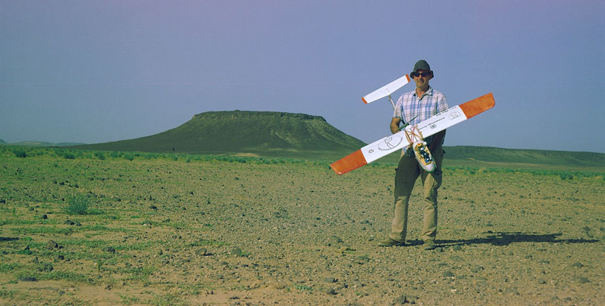
The recent widespread craze for photography “drones”, primarily in the form of quadcopters, has driven rapid development in radio-controlled aircraft technology, making drones increasingly affordable, reliable and easy to fly, he noted, stressing that drones’ reliability and functionality rapidly positioned them as a popular tool in a wide range of research fields.
“Alongside the rapid development of drone technology, there were also rapid advances in the software needed to process aerial photography to produce spatially accurate data,” he elaborated, noting that the reason drones are such a powerful tool for archaeologists is that, if researchers record sets of overlapping aerial images, they can feed those photographs to specialised software that will extract three-dimensional data to be used to accurately map archaeological sites and landscapes.
“Drones can then be used to provide high-resolution, accurate mapping data rapidly and cost-effectively,” he stressed.
But one of the challenges people who operate drones face are the legal issues and safety regulations.
Drones became popular and affordable so rapidly that a huge new population of users sprang up with little experience with any form of aircraft, Hill claimed, noting that this meant that many people began operating drones with little knowledge of local laws or safe practices.
“National and local governments worldwide have struggled with how to deal with this large influx of users and effectively regulate the use of technology while still allowing responsible operation,” he stressed, noting that the legality of drone operation greatly varies between countries and municipalities.
“Drone operators should be familiar with their equipment,” the scholar stressed, noting that this should include necessary experience in flying their aircraft in all flight modes before any professional use.
It is never appropriate to fly drones over bystanders who have not been made aware of drone operations in advance, Hill underscored, stressing that and, even then, drones should only ever be operated in exceptional circumstances.
“It is generally good practice to always operate with a spotter, or ‘visual observer’, during all operations,” he emphasised, saying that, in the US, a visual observer is required in certain contexts, but can be helpful in almost all situations.
According to Hill, an observer can help drone pilots maintain “situational awareness” by tracking other aircraft, watching out for obstacles, and communicating with people on the ground while the pilot focuses on controlling the drone.
“Although it is reasonable to be worried about the safe and responsible use of drones, they are not necessarily as big a concern for privacy as is often claimed. Most commercial quadcopters have relatively short flight times [around 20 minutes], are loud, and don’t carry cameras with long lenses for distant recording,” the anthropologist explained.
Hill was involved in two projects in Jordan where he used drones: the Eastern Badia Archaeology Project directed by Yorke Rowan, Gary Rollefson and Alex Wasse, where the team used drones to map the landscape, document archaeological features and record excavations at sites that primarily date to the Late Neolithic period.
In the “Landscapes of the Dead” project, he worked with Morag Kersel of DePaul University, using drones at the Early Bronze Age site of Fifa (on the southern part of the Dead Sae), aiming to monitor the scale and pace of looting.
Hill stressed that researchers are currently not allowed to use drones in Jordan, adding “as rules are changing in Jordan, we are exploring alternative options that might still allow us to collect data even if we can’t operate drones. This would include alternative technologies or even the relatively new option of contracting with Jordanian commercial drone operators”.
